Curated OER
New Mexico Map
In this state maps worksheet, students identify the state of New Mexico. Students fill in the state capital, major cities, and other state attractions.
Curated OER
New Mexico State Quarter Printable
In this New Mexico worksheet, students study a picture of the state quarter of New Mexico. Using the information on the coin, students answer 3 short essay questions.
Curated OER
New Mexico Vocabulary Word Jumble
In this New Mexico worksheet, students unscramble the letters in 20 words to spell key places, people, resources or regions of the state of New Mexico. There is a word bank provided.
Curated OER
New Mexico Cities Word Jumbles
In this New Mexico worksheet, students unscramble ten words to spell the names of cities in the state of New Mexico. There is a word bank.
Curated OER
New Mexico Acrostic Poem
In this New Mexico worksheet, students write an acrostic poem about the state. Students use the letters in NEW MEXICO to begin each new line of poetry.
Curated OER
New Mexico
In this geography worksheet, students will be searching for words that are all cities in New Mexico. Students will locate 44 locations within the state.
Curated OER
Geography: US States and Capitals Picture/Word #7
For this US states and capitals worksheet, students trace the sentences that list the capital cities of the following states: New Mexico, New York, North Carolina, North Dakota, and Ohio.
Curated OER
Name the States Worksheet 1
In this name the states worksheet, students examine 6 state map outlines and identify each of them by writing the state names and postal abbreviations.
Curated OER
Topographic Maps Worksheet
In this geography skills worksheet, students respond to 37 multi-part questions that require them to read and interpret topographic maps.
Curated OER
Geography Crossword Puzzle
In this history worksheet, students answer nine questions concerning a variety of states and compass directions including north, south, east and west. Students complete a crossword puzzle.
Curated OER
Third Grade Social Studies-Multiple Choice Activity
In this grade 3 social studies activity, 3rd graders complete a set of 25 questions about a variety of topics including geography, types of communities, map and questions about the environment.
Concord Consortium
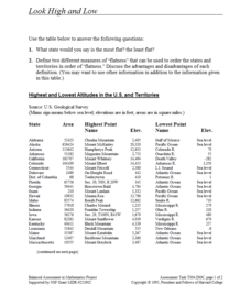
Look High and Low
From the highest high to the lowest low here's a resource that won't fall flat. Given data on the area and the highest and lowest elevations of each of the 50 states, learners decide which states are the least flat and the most flat. Of...
Curated OER
Oklahoma
In this geography worksheet, students read a 2 page selection detailing the location, history and early statehood of Oklahoma. They answer 10 true or false questions based on the reading.
Curated OER
Countries w/ Biggest Armies Quiz
In this online interactive military quiz worksheet, learners examine the chart that includes details about the number of troops in 20 countries. Students identify the names of the countries in 4 minutes.
Curated OER
Countries and Languages Quiz
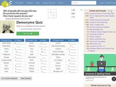
In this online interactive geography quiz activity, students examine the chart that includes 20 languages. Students identify the names of the countries with the greatest number of native speakers in 4 minutes.
Curated OER
City to Country Quiz
For this online interactive geography quiz worksheet, students examine the chart that includes 20 world cities. Students identify the names of the countries where the cities are located in 4 minutes.
Curated OER
California Cities Map Quiz
In this online interactive geography quiz instructional activity, students examine the map that includes 12 California cities. Students identify the names of the cities in 3 minutes.
Curated OER
Anagrams of World Cities
In this geography worksheet, students read and analyze a list of 25 world cities in which the letters are scrambled. Students write the names of the cities, then match them to one of the countries listed on the page. Example: SOLO...
Curated OER
People from Places Quiz
In this online interactive geography quiz worksheet, students respond to 20 identification questions about what people from certain areas of the world are known as. Students have 4 minutes to complete the quiz.
Curated OER
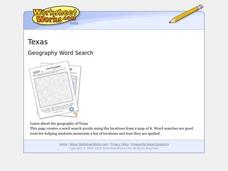
Texas Location Word Search
In this Texas location worksheet, learners identify, locate and label twenty six significant Texas locations on a Texas map. Students also complete a word search containing the twenty six key locations.
Curated OER
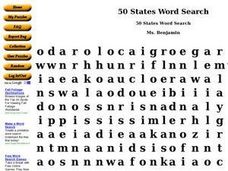
50 States Word Search
In this fifty states worksheet, students identify and locate all fifty states of the United States of America. There are 50 states located in the word search.
K12 Reader
Conflict Over North American Lands
Readers are introduced to some of the conflicts that arose over land and resources in the Americas in a two-part cross-curricular comprehension worksheet that asks kids to study the article and then to use information provided to respond...
Curated OER
USA Immigration by Country Quiz
In this online interactive geography quiz worksheet, students respond to 30 identification questions about countries U.S. citizens have immigrated from. Students have 5 minutes to complete the quiz.


